
Guest reading progress stays in this browser and is not synchronized to your account automatically. Use the learning panel to include browser marks and save them explicitly. Clearing site data removes browser marks.
Your learning notebook
Save courses and review situations deliberately. Load your account records on another device when you want to continue.
Bookmarks and review choices stay in this browser until you load and save an account. Answers and time spent reading are not recorded.
Saved courses
Saved situations to revisit
Find your marked situations by title or topic, then open the original question and explanation.
Your review choices will appear here when this learning view is ready. Use the account controls above to load account choices.
No situations are marked for review in this learning view.
No saved situation matches these filters. Clear the search or choose all topics.
Identification practice
Land access practice
Field decisions practice
Harvest care practice
Useful reading before this lesson
Start with these guides for background and preparation. You can open any guide at any time.
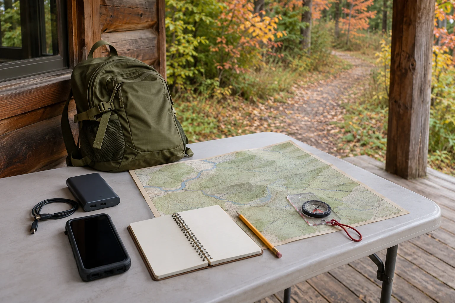
Original AI-generated teaching scene. The gear, map and landscape are illustrative; they do not show current local conditions or a verified route.
Image credit: SKHunter · original AI-generated teaching sceneWhat you will learn
- Test the actual map and communication equipment before departure.
- Separate a measured position from an inferred route or boundary.
- Use a trip plan and a stop decision when the location becomes uncertain.
An original SKHunter learning guide
Practice case: the data connection disappears after a junction
The party reaches a junction that does not match the expected view. The phone shows a position dot but the surrounding map tiles are absent.
Put it into practice
- Stop the party and identify immediate hazards.
- Keep the last confirmed junction separate from the present uncertain position.
- Use the practised backup and agreed help plan rather than following an unverified track.
- For an emergency, seek a connection to 9-1-1 or use the prepared device according to its instructions.
- After returning, close the trip plan and repeat the offline map test with the missing area included.
Common mistakes to avoid
A visible position dot means the whole route is available
Test the actual offline map coverage and tools needed to interpret the position.
No missed call means the outside contact knows the change
Agree how changes are confirmed and what happens when communication fails.
Walking farther must improve the situation
Pause an uncertain journey and use the prepared help options instead of extending a guess.
Your position dot remains visible but the offline map has no useful context. What does the dot establish?
- A checked route and permission to cross the surrounding land.
- The exact position of any animal you can see.
- A device position estimate that still needs map context and ground checks.
Show the answer and explanation
Answer: C. A device position estimate that still needs map context and ground checks.
A position estimate is one item of information. It does not supply missing terrain, a safe route or land permission.
Current checks and official context
Map capability and local records
Check the instructions of the navigation product you will actually use. This lesson does not promise complete offline coverage in SKHunter or any mobile service.
Emergency communication
Sask911 provides current emergency-call guidance and explains wireless limitations. Satellite functions, where available, require device-specific preparation; no communication method guarantees immediate rescue.
Scenario practice
Put your field decisions into practice.
Try 24 situations across identification, access, field adjustments and harvest care. Compare your choice with the explanation, then revisit the relevant lesson.
Original sources
- AdventureSmart · Trip planning, training and essentials
- AdventureSmart · Communication and signalling
- Saskatchewan Public Safety Agency · Sask911 and wireless limitations
Use this as a planning guide. Check current official requirements and site conditions before travelling.
Help improve this guide
Tell the editor about something on this public page that needs attention.